Services Offered
GWB Survey offers a comprehensive range of surveying services tailored to various sectors, including construction, engineering, remediation, and resources. Their skilled team specializes in the following areas:
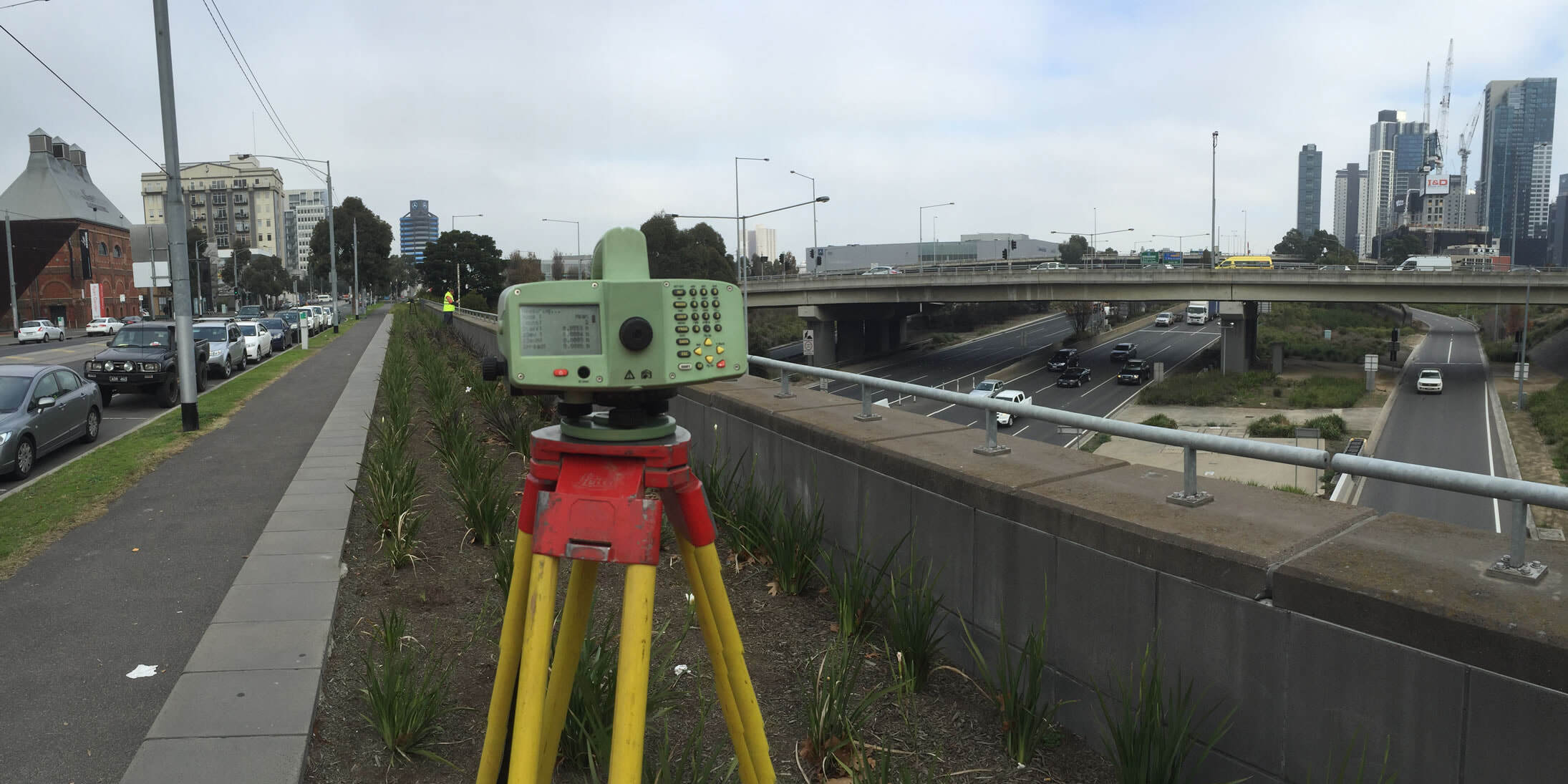
Existing Feature Survey:
GWB Survey provides high-detail feature surveys for a wide range of applications, including roads, rail, buildings, and other construction projects. These surveys offer precise information about existing features on a site.

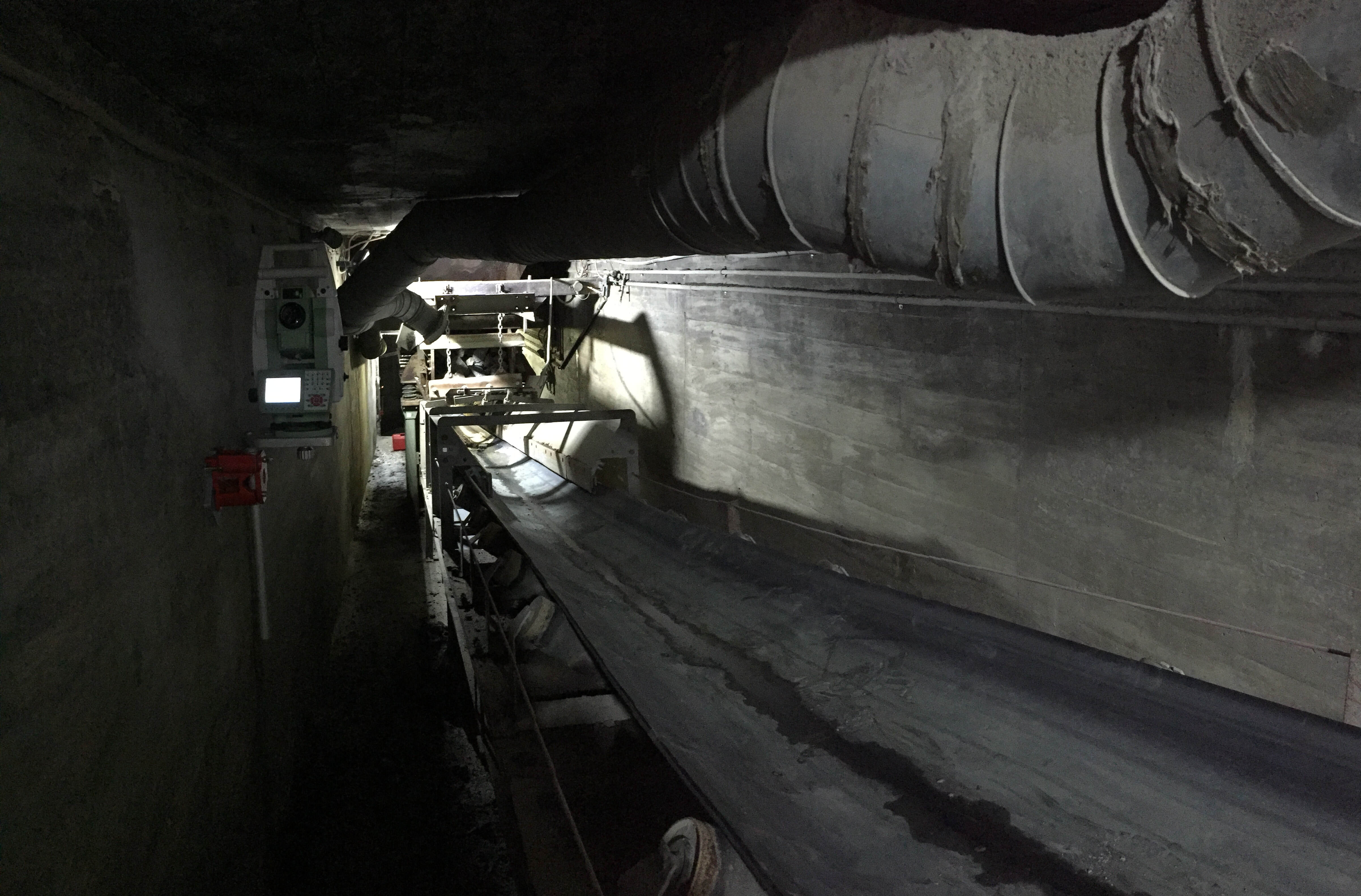
Establishing Site Survey Control:
The company utilizes advanced surveying equipment such as GPS, Total Stations, and Digital Levels to establish accurate survey control points on a site. This is crucial for maintaining consistency and precision throughout the project.
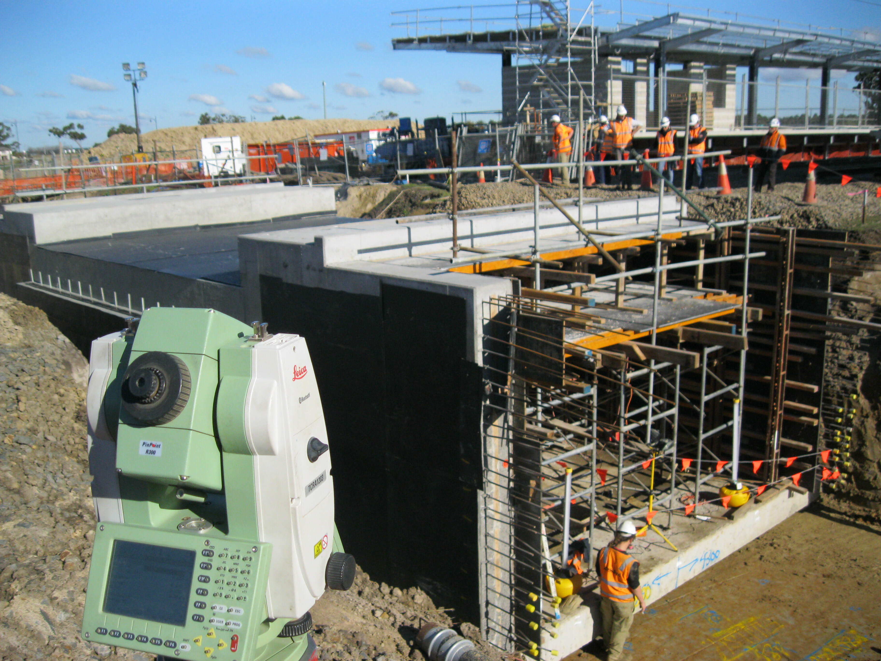
Setout Services:
GWB Survey offers setout services for various purposes, including road boxing, bridge piles to final abutments, rail works, and building gridlines. Setout services ensure that construction elements are placed correctly according to the project's design.
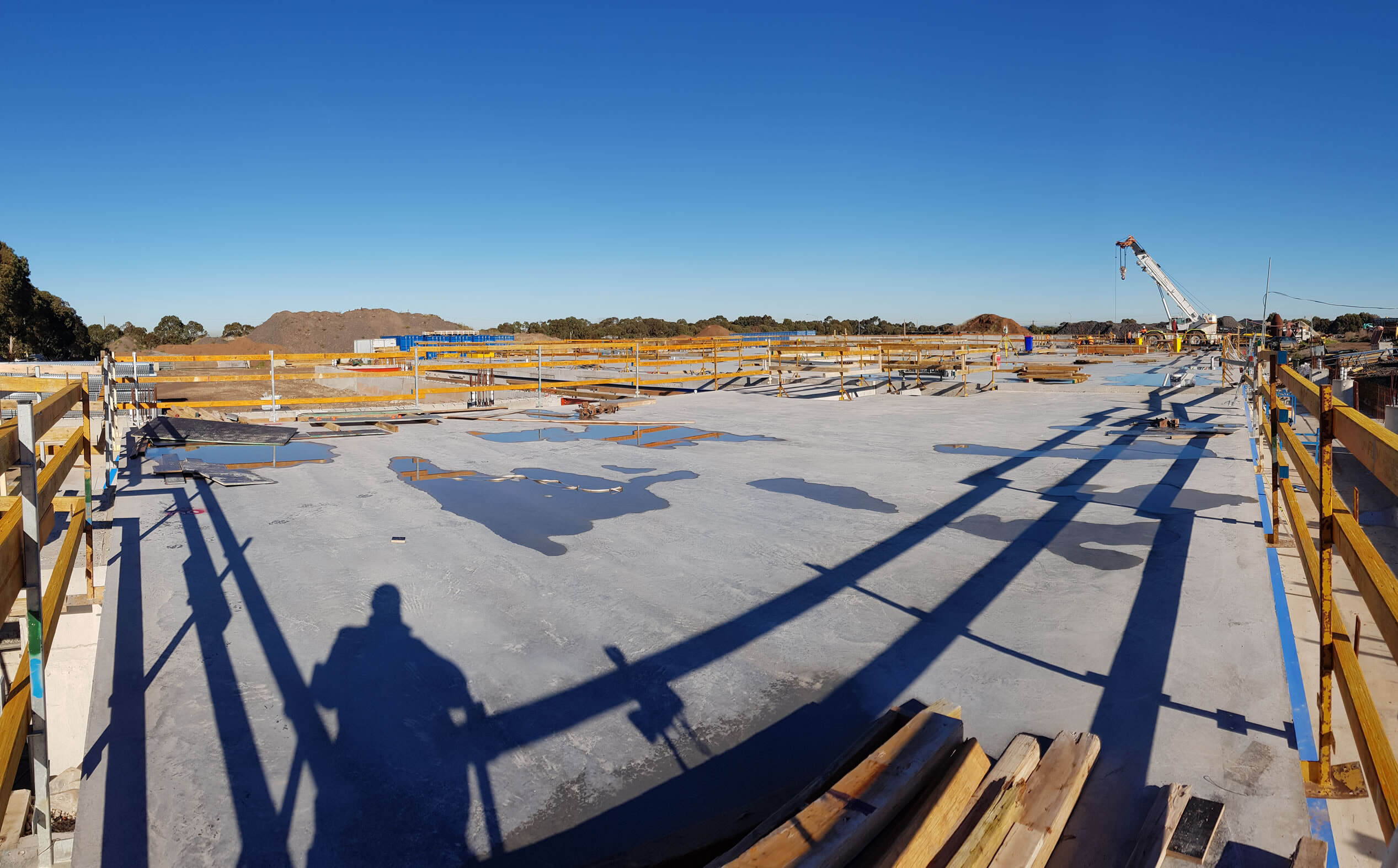
Asbuilt Drawings and Reports:
The company provides comprehensive asbuilt drawings and reports that cover various aspects of a project, ranging from pavement layers to precast panels, drainage, and compliance with VicRoads standards. These documents are essential for project documentation and compliance.
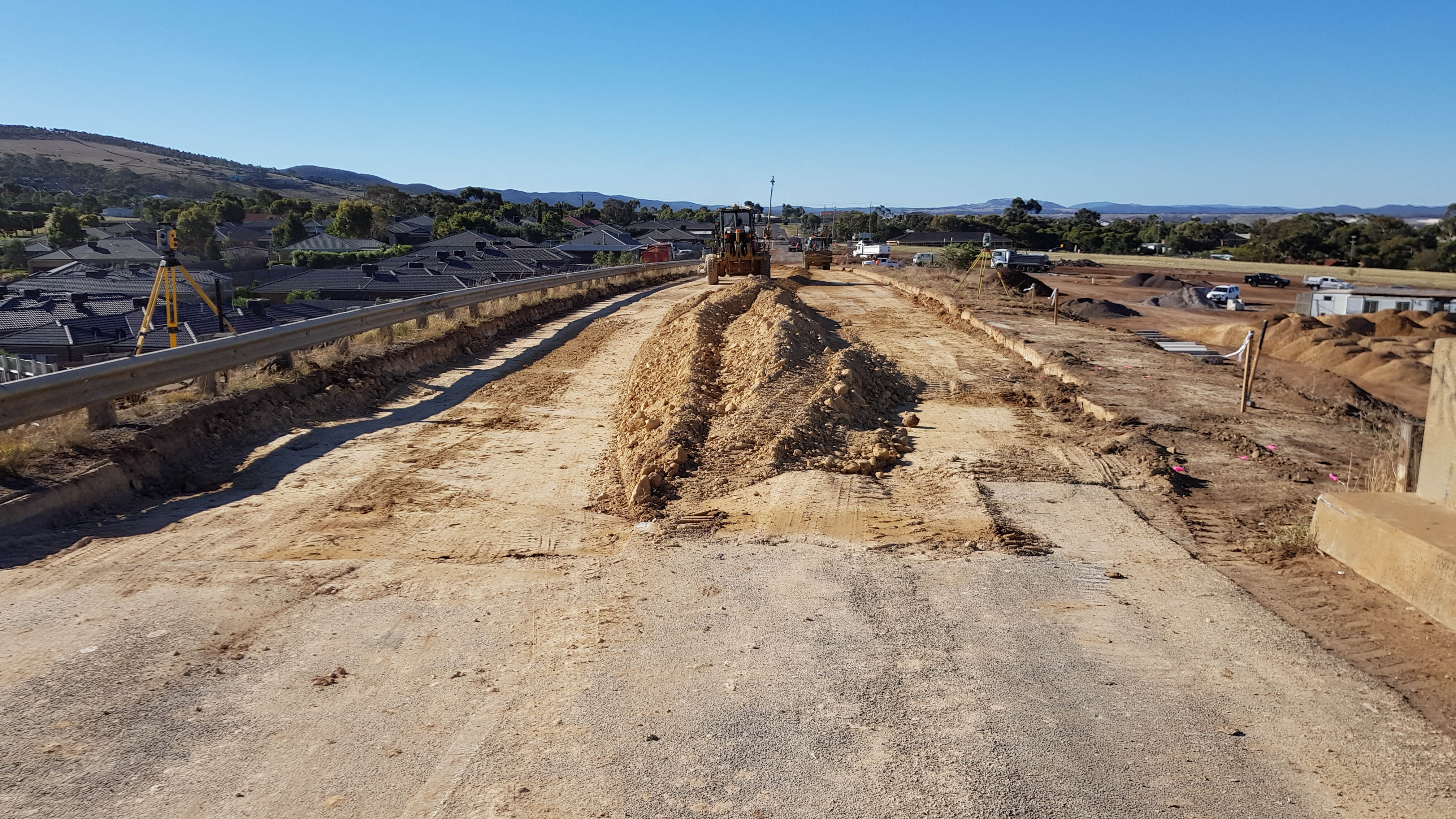
3D Machine File Setup:
GWB Survey assists in setting up 3D machine files compatible with equipment from leading manufacturers such as Leica, Trimble, and Topcon. These files are used in graders, dozers, and excavators to ensure precise earthmoving operations.
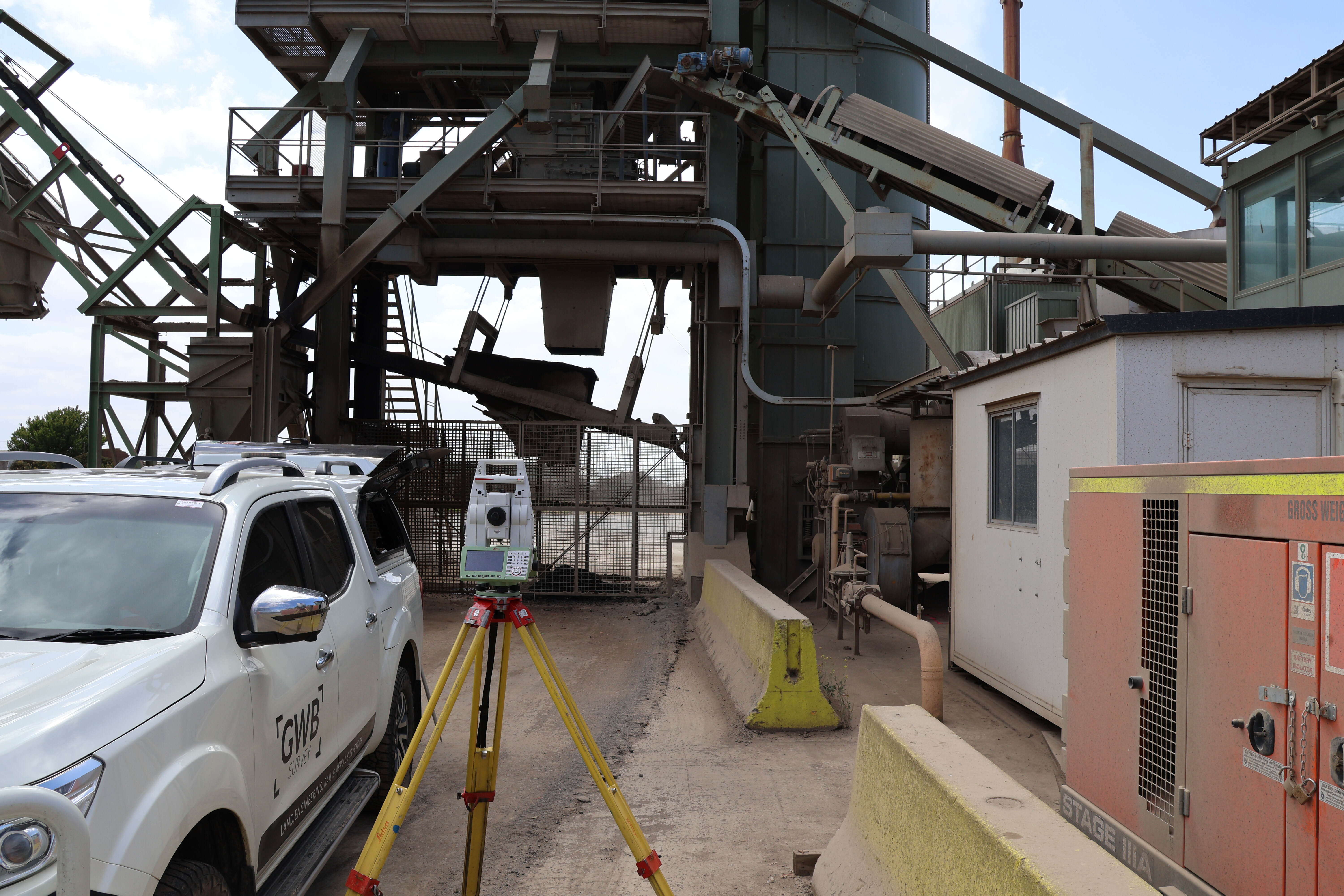
Surveys of Steel Structures:
The company offers accurate surveys of steel structures and produces related asbuilt drawings. This service is vital for quality control and maintenance of steel-based infrastructure.
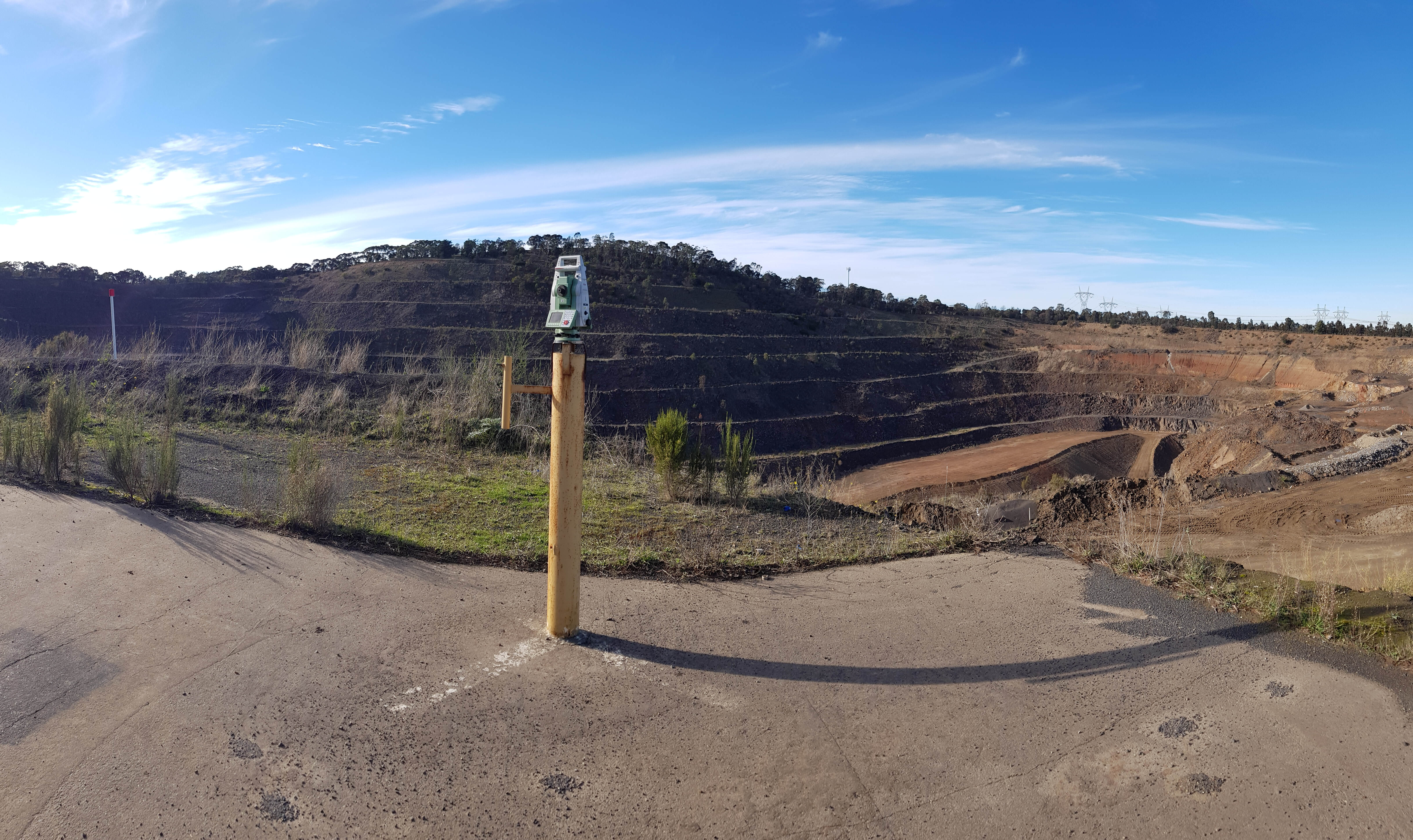
Monitoring Services:
GWB Survey provides monitoring services that encompass various aspects, including bridge settlement, bridge movement, rail monitoring, and building/wall settlement. These services help ensure the safety and stability of structures over time.
Domestic Work:
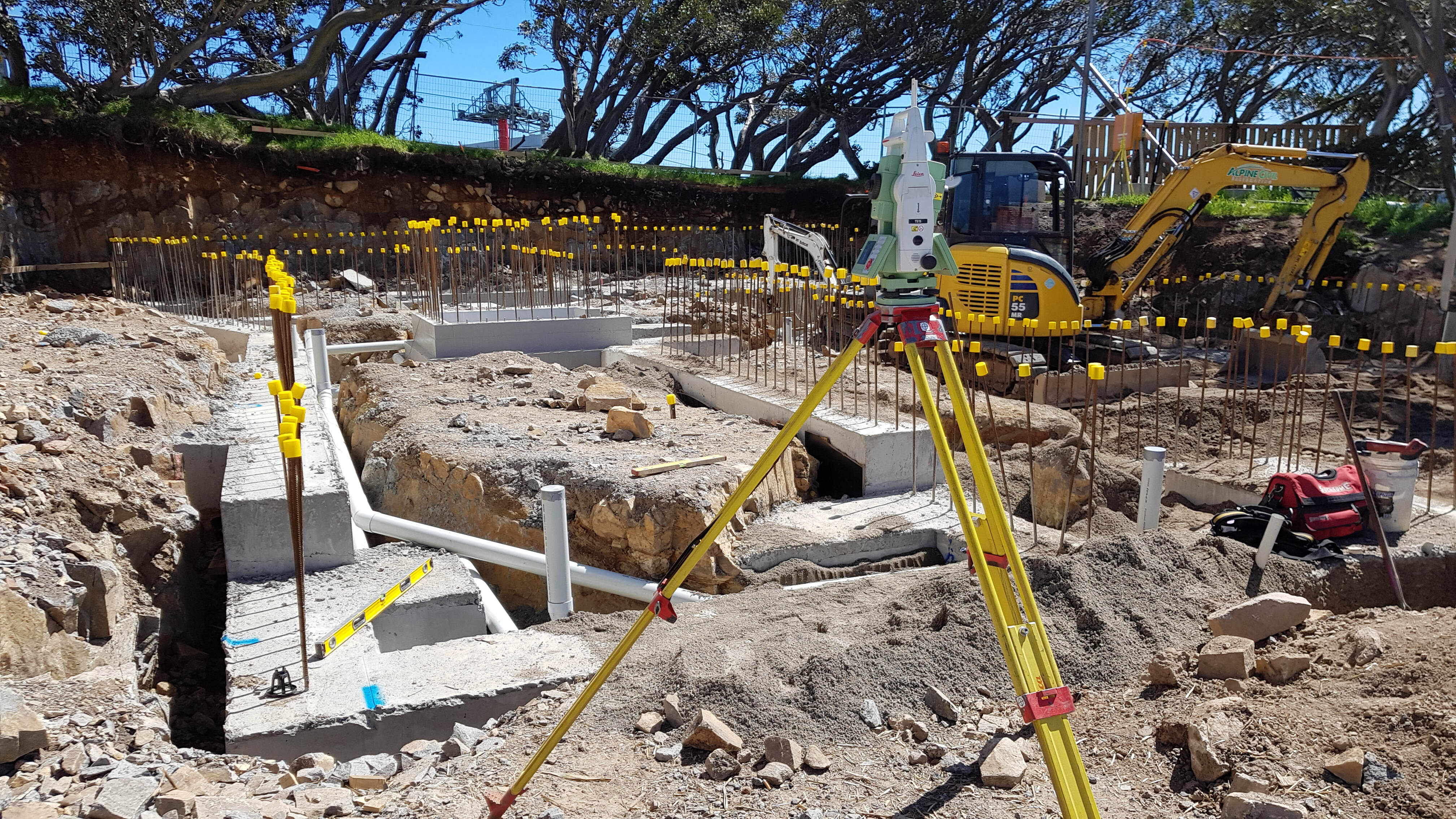
The company also undertakes domestic projects, including house and building setout, marking gridlines, and level determination. These services are valuable for homeowners and small-scale construction projects.
UAV Mapping:
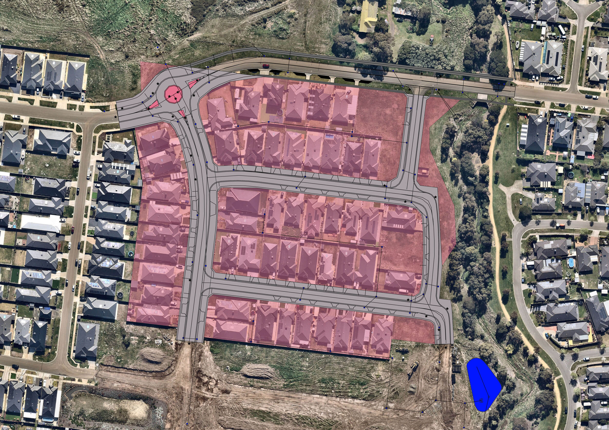
GWB Survey utilizes unmanned aerial vehicles (UAVs) for mapping purposes, including monthly surveys for volume calculations, feature surveys, and final surveys. They can provide contour files, grid files, and Geo-referenced orthomosaic images for clients.
A -Spec Feature Surveys:
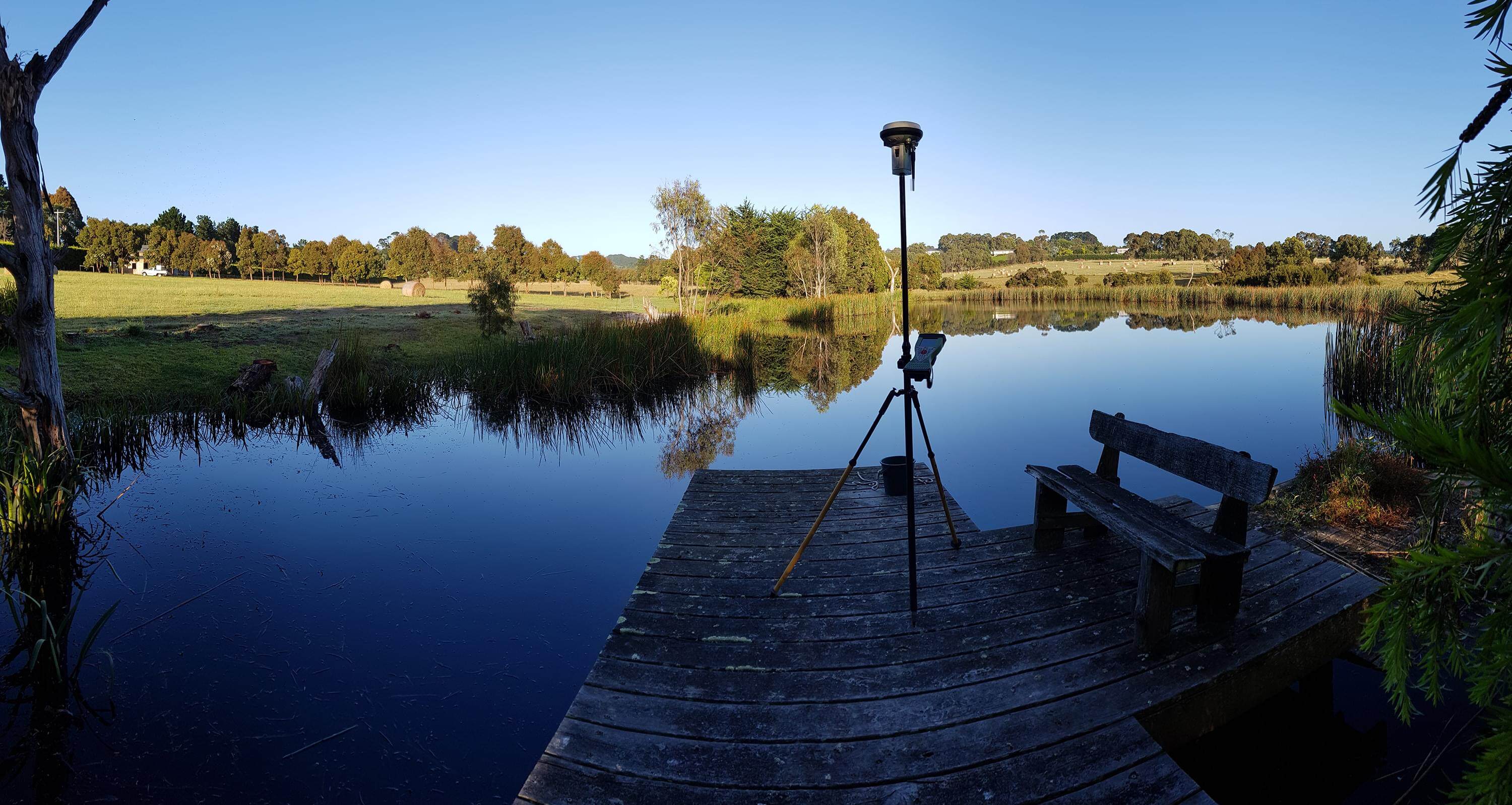
These feature surveys are designed specifically for local councils and meet the standards and specifications required by regulatory authorities.
Dilapidation Survey/Report:
A highly detailed survey and report into the current condition of a building, from the physical structure and systems to issues involving furnishings and general wear and tear.

SURVEY MANAGEMENT
Our tailored services ensure seamless project execution, earning us enduring partnerships with top-tier construction contractors.

GWB Survey's diverse range of services, along with their skilled team and advanced technology, makes them a versatile and reliable choice for surveying needs across various industries and project types.


